Trislaig viewed from Fort William
Introduction
The photograph on this page of Trislaig viewed from Fort William by John Lucas as part of the Geograph project.
The Geograph project started in 2005 with the aim of publishing, organising and preserving representative images for every square kilometre of Great Britain, Ireland and the Isle of Man.

There are currently over 7.5m images from over 14,400 individuals and you can help contribute to the project by visiting https://www.geograph.org.uk
Trislaig viewed from Fort William
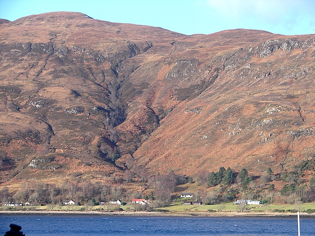
Image: © John Lucas Taken: 6 Feb 2008
The slopes of Meall an t-Slamain (467 metres) are in view.
Images are licensed for reuse under creativecommons.org/licenses/by-sa/2.0
Image Location
Latitude
56.820964
Longitude
-5.13702