Hagg House
Introduction
The photograph on this page of Hagg House by Chris Heaton as part of the Geograph project.
The Geograph project started in 2005 with the aim of publishing, organising and preserving representative images for every square kilometre of Great Britain, Ireland and the Isle of Man.

There are currently over 7.5m images from over 14,400 individuals and you can help contribute to the project by visiting https://www.geograph.org.uk
Hagg House
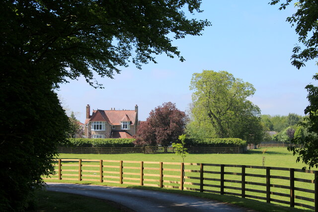
Image: © Chris Heaton Taken: 30 May 2021
Surrounded by pastures, which are in turn encircled by the B1448 from Thirsk to the east, the busy dual carriageway A168 to the south and Topcliffe Airfield to the west.
Images are licensed for reuse under creativecommons.org/licenses/by-sa/2.0
Image Location
Latitude
54.205589
Longitude
-1.360819