Villa Golf Course
Introduction
The photograph on this page of Villa Golf Course by Simon Carey as part of the Geograph project.
The Geograph project started in 2005 with the aim of publishing, organising and preserving representative images for every square kilometre of Great Britain, Ireland and the Isle of Man.

There are currently over 7.5m images from over 14,400 individuals and you can help contribute to the project by visiting https://www.geograph.org.uk
Villa Golf Course
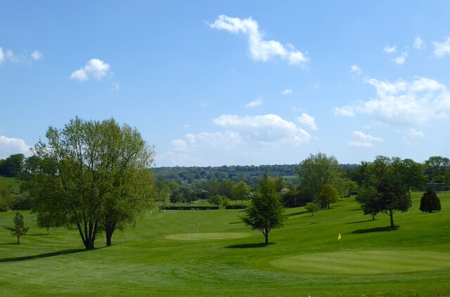
Image: © Simon Carey Taken: 31 May 2021
Nine hole golf course located on the Sussex-Kent border. The greens in view were once fields known as Lockyers according to Withyham's 1842 tithe map.
Images are licensed for reuse under creativecommons.org/licenses/by-sa/2.0
Image Location
Latitude
51.1422
Longitude
0.144618