A360 Devizes Road, Salisbury
Introduction
The photograph on this page of A360 Devizes Road, Salisbury by Robin Webster as part of the Geograph project.
The Geograph project started in 2005 with the aim of publishing, organising and preserving representative images for every square kilometre of Great Britain, Ireland and the Isle of Man.

There are currently over 7.5m images from over 14,400 individuals and you can help contribute to the project by visiting https://www.geograph.org.uk
A360 Devizes Road, Salisbury
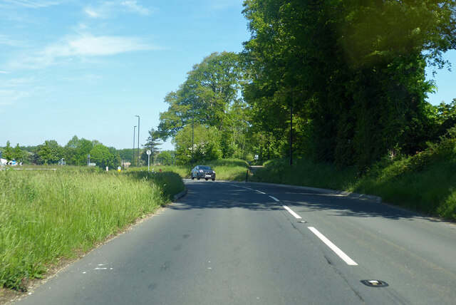
Image: © Robin Webster Taken: 30 May 2021
Formerly the road went straight on, but a new roundabout has been inserted off to the left for a new out-of-town housing development.
Images are licensed for reuse under creativecommons.org/licenses/by-sa/2.0
Image Location
Latitude
51.095468
Longitude
-1.832587