Summerscales Farm House
Introduction
The photograph on this page of Summerscales Farm House by Mel Towler as part of the Geograph project.
The Geograph project started in 2005 with the aim of publishing, organising and preserving representative images for every square kilometre of Great Britain, Ireland and the Isle of Man.

There are currently over 7.5m images from over 14,400 individuals and you can help contribute to the project by visiting https://www.geograph.org.uk
Summerscales Farm House
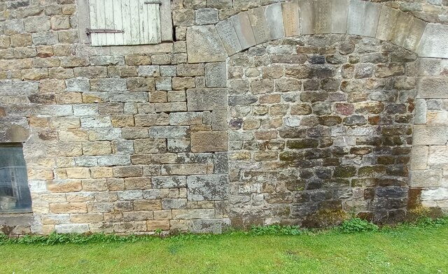
Image: © Mel Towler Taken: 28 May 2021
Wider angle of the farm house, with the surveyor's flush bracket, 11578. Located just to the left of the stoned-up archway, and at ground level.
Images are licensed for reuse under creativecommons.org/licenses/by-sa/2.0
Image Location
Latitude
53.985551
Longitude
-1.844415