Eastern approach to Llangurig station site
Introduction
The photograph on this page of Eastern approach to Llangurig station site by Nigel Brown as part of the Geograph project.
The Geograph project started in 2005 with the aim of publishing, organising and preserving representative images for every square kilometre of Great Britain, Ireland and the Isle of Man.

There are currently over 7.5m images from over 14,400 individuals and you can help contribute to the project by visiting https://www.geograph.org.uk
Eastern approach to Llangurig station site
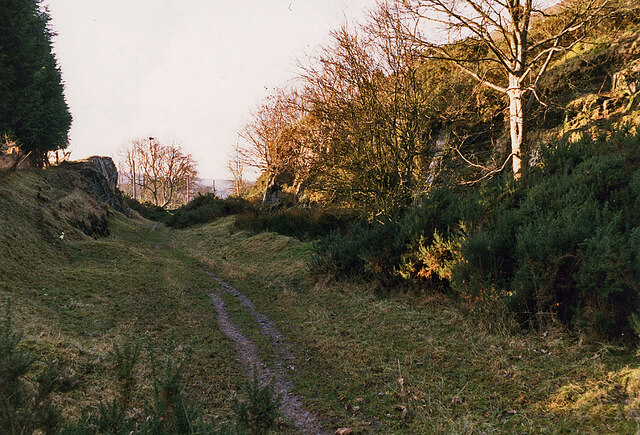
Image: © Nigel Brown Taken: 31 Dec 1998
The northern arm of the Manchester and Milford Railway approached Llangurig on a rising gradient, before reaching the station site through this cutting. The trackbed from the A470 to this point is now a public footpath.
Images are licensed for reuse under creativecommons.org/licenses/by-sa/2.0
Image Location
Latitude
52.406584
Longitude
-3.603005