NW parapet of bridge taking A6071 over dismantled railway at Smalmstown
Introduction
The photograph on this page of NW parapet of bridge taking A6071 over dismantled railway at Smalmstown by Roger Templeman as part of the Geograph project.
The Geograph project started in 2005 with the aim of publishing, organising and preserving representative images for every square kilometre of Great Britain, Ireland and the Isle of Man.

There are currently over 7.5m images from over 14,400 individuals and you can help contribute to the project by visiting https://www.geograph.org.uk
NW parapet of bridge taking A6071 over dismantled railway at Smalmstown
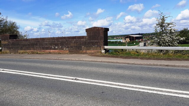
Image: © Roger Templeman Taken: 27 May 2021
There is an Ordnance Survey benchmark Image on the right hand end (road face) of the bridge parapet
Images are licensed for reuse under creativecommons.org/licenses/by-sa/2.0
Image Location
Latitude
55.009551
Longitude
-2.989116