Gedling Church
Introduction
The photograph on this page of Gedling Church by Alan Murray-Rust as part of the Geograph project.
The Geograph project started in 2005 with the aim of publishing, organising and preserving representative images for every square kilometre of Great Britain, Ireland and the Isle of Man.

There are currently over 7.5m images from over 14,400 individuals and you can help contribute to the project by visiting https://www.geograph.org.uk
Gedling Church
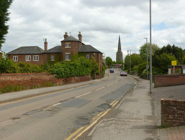
Image: © Alan Murray-Rust Taken: 25 May 2021
Recreating this 'First' for the square https://www.geograph.org.uk/photo/35702 . The striking presence of the distant church is recognised in the title although it is only a small part of the picture. Manor Farmhouse, Listed Grade II, is more visible as the result of removal of trees.
Images are licensed for reuse under creativecommons.org/licenses/by-sa/2.0
Image Location
Latitude
52.978565
Longitude
-1.083879