Bennetts Road South from Keresley fields
Introduction
The photograph on this page of Bennetts Road South from Keresley fields by A J Paxton as part of the Geograph project.
The Geograph project started in 2005 with the aim of publishing, organising and preserving representative images for every square kilometre of Great Britain, Ireland and the Isle of Man.

There are currently over 7.5m images from over 14,400 individuals and you can help contribute to the project by visiting https://www.geograph.org.uk
Bennetts Road South from Keresley fields
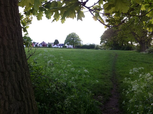
Image: © A J Paxton Taken: 25 May 2021
Ribbon development of suburban houses from the interwar years along a country lane on the edge of Coventry, seen from fields that may themselves soon be built over.
Images are licensed for reuse under creativecommons.org/licenses/by-sa/2.0
Image Location
Latitude
52.446375
Longitude
-1.531644