Rotherham High Street
Introduction
The photograph on this page of Rotherham High Street by Ryk Rak as part of the Geograph project.
The Geograph project started in 2005 with the aim of publishing, organising and preserving representative images for every square kilometre of Great Britain, Ireland and the Isle of Man.

There are currently over 7.5m images from over 14,400 individuals and you can help contribute to the project by visiting https://www.geograph.org.uk
Rotherham High Street
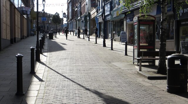
Image: © Ryk Rak Taken: 17 Sep 2019
View of the High Street looking uphill from the Wellgate end. The old Primark building on the left hand side is now under demolition ready to be redeveloped into an urban park.
Images are licensed for reuse under creativecommons.org/licenses/by-sa/2.0
Image Location
Latitude
53.430473
Longitude
-1.35563