Houses on Cavaghan Gardens
Introduction
The photograph on this page of Houses on Cavaghan Gardens by Luke Shaw as part of the Geograph project.
The Geograph project started in 2005 with the aim of publishing, organising and preserving representative images for every square kilometre of Great Britain, Ireland and the Isle of Man.

There are currently over 7.5m images from over 14,400 individuals and you can help contribute to the project by visiting https://www.geograph.org.uk
Houses on Cavaghan Gardens
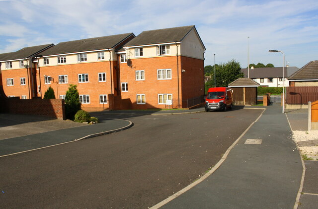
Image: © Luke Shaw Taken: 24 Aug 2019
Ordnance Survey records indicate that a flush bracket (serial number 1441) was levelled at 41.897m above Newlyn Datum in 1953 and verified in 1972 on a building beside a factory at this site. The buildings were demolished in ~2009 to make way for the new housing. See www.bench-marks.org.uk/bm10278
Images are licensed for reuse under creativecommons.org/licenses/by-sa/2.0
Image Location
Latitude
54.877542
Longitude
-2.907796