Netherfield 'village' sign
Introduction
The photograph on this page of Netherfield 'village' sign by Alan Murray-Rust as part of the Geograph project.
The Geograph project started in 2005 with the aim of publishing, organising and preserving representative images for every square kilometre of Great Britain, Ireland and the Isle of Man.

There are currently over 7.5m images from over 14,400 individuals and you can help contribute to the project by visiting https://www.geograph.org.uk
Netherfield 'village' sign
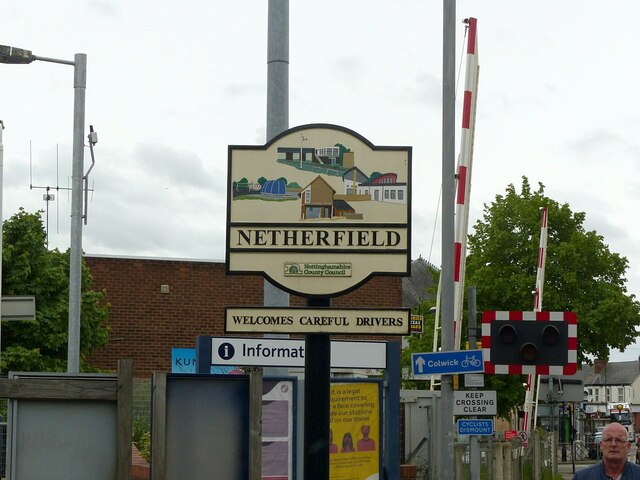
Image: © Alan Murray-Rust Taken: 23 May 2021
These cast signs were originally created for rural villages, but have spread to include urban 'villages' as well. This shows (top) the former Netherfield Junction Signal Box https://www.geograph.org.uk/photo/312689 , Jackie Bell's Field playground (left) and the St George's Centre (bottom). I have not identified the fourth element.
Images are licensed for reuse under creativecommons.org/licenses/by-sa/2.0
Image Location
Latitude
52.96522
Longitude
-1.078652