The Lodge, London Road at Chertsey Grove junction
Introduction
The photograph on this page of The Lodge, London Road at Chertsey Grove junction by Roger Templeman as part of the Geograph project.
The Geograph project started in 2005 with the aim of publishing, organising and preserving representative images for every square kilometre of Great Britain, Ireland and the Isle of Man.

There are currently over 7.5m images from over 14,400 individuals and you can help contribute to the project by visiting https://www.geograph.org.uk
The Lodge, London Road at Chertsey Grove junction
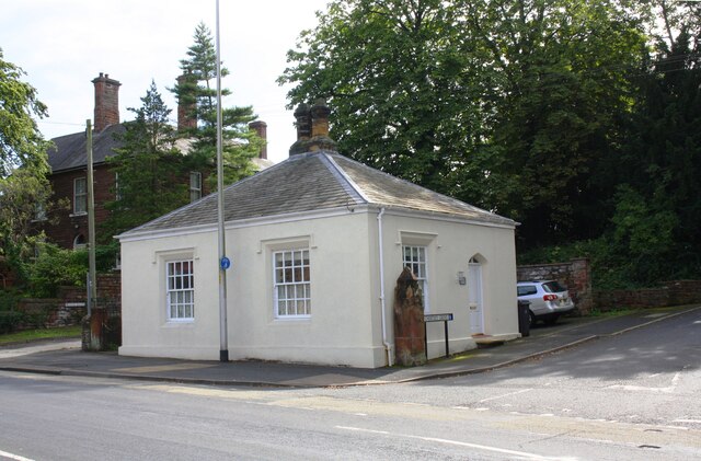
Image: © Roger Templeman Taken: 24 Aug 2019
Ordnance Survey documents indicate that a benchmark was levelled at 120.727 feet above Liverpool Datum on the near corner of this former toll house during the 1841-1844 Liverpool to Port Carlisle 1GL Survey. The surveyor's description of the mark was 'No. 465. Bolt in North-west corner of Harraby Toll-house ; 2.65 ft. above surface'. See www.bench-marks.org.uk/bm80950
Images are licensed for reuse under creativecommons.org/licenses/by-sa/2.0
Image Location
Latitude
54.880387
Longitude
-2.911912