Farmland between Birkerthwaite and High Ground
Introduction
The photograph on this page of Farmland between Birkerthwaite and High Ground by Steve Partridge as part of the Geograph project.
The Geograph project started in 2005 with the aim of publishing, organising and preserving representative images for every square kilometre of Great Britain, Ireland and the Isle of Man.

There are currently over 7.5m images from over 14,400 individuals and you can help contribute to the project by visiting https://www.geograph.org.uk
Farmland between Birkerthwaite and High Ground
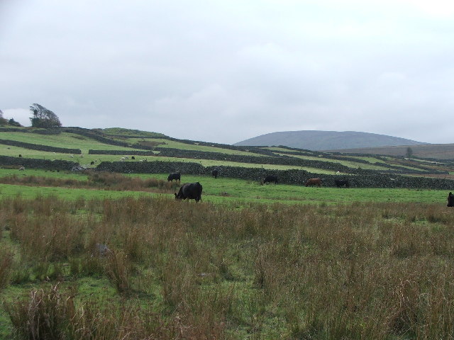
Image: © Steve Partridge Taken: 15 Oct 2005
Area S of western Eskdale. Looking S from the footpath at SD 178 984.
Images are licensed for reuse under creativecommons.org/licenses/by-sa/2.0
Image Location
Latitude
54.372633
Longitude
-3.268381