Bridge Taking the Footpath Under the Disused Market Drayton Line
Introduction
The photograph on this page of Bridge Taking the Footpath Under the Disused Market Drayton Line by Brian Deegan as part of the Geograph project.
The Geograph project started in 2005 with the aim of publishing, organising and preserving representative images for every square kilometre of Great Britain, Ireland and the Isle of Man.

There are currently over 7.5m images from over 14,400 individuals and you can help contribute to the project by visiting https://www.geograph.org.uk
Bridge Taking the Footpath Under the Disused Market Drayton Line
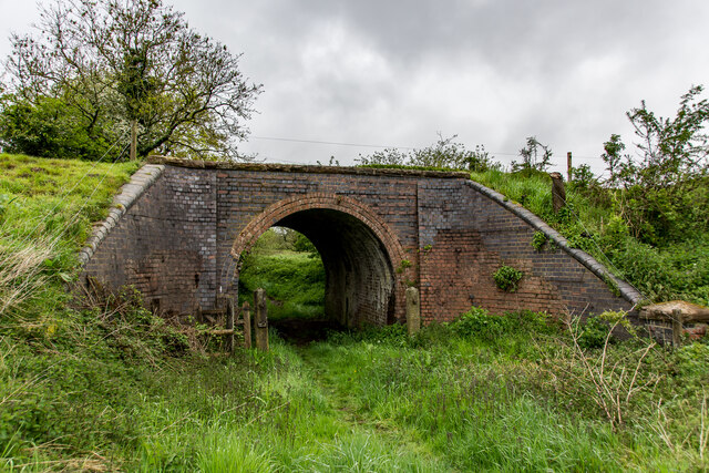
Image: © Brian Deegan Taken: 22 May 2021
Built around 1870 the line was closed in 1956 and is now a farm track. This would be between the Madeley road station Image and Pipe Gate. https://en.wikipedia.org/wiki/Stoke_to_Market_Drayton_Line
Images are licensed for reuse under creativecommons.org/licenses/by-sa/2.0
Image Location


Leaflet Map data © OpenStreetMap
Latitude
52.977767
Longitude
-2.361555