Church of St Peter, Thurgarton
Introduction
The photograph on this page of Church of St Peter, Thurgarton by Alan Murray-Rust as part of the Geograph project.
The Geograph project started in 2005 with the aim of publishing, organising and preserving representative images for every square kilometre of Great Britain, Ireland and the Isle of Man.

There are currently over 7.5m images from over 14,400 individuals and you can help contribute to the project by visiting https://www.geograph.org.uk
Church of St Peter, Thurgarton
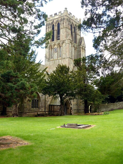
Image: © Alan Murray-Rust Taken: 19 May 2021
View of the church across the churchyard which was cleared of most of the gravestones and monuments in the 1950s http://www.geograph.org.uk/photo/6844601 . The remaining slab tombs near the porch are those of the Millward family who purchased the Priory house in 1820.
Images are licensed for reuse under creativecommons.org/licenses/by-sa/2.0
Image Location
Latitude
53.035617
Longitude
-0.970075