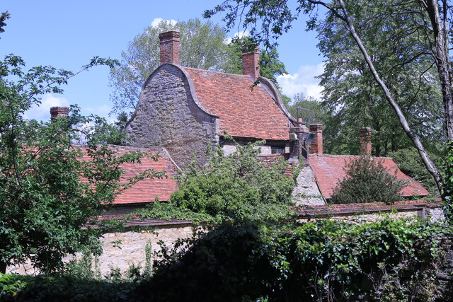
Rear of the Almshouses, Great Linford
Introduction
The photograph on this page of Rear of the Almshouses, Great Linford by Andrew Abbott as part of the Geograph project.
The Geograph project started in 2005 with the aim of publishing, organising and preserving representative images for every square kilometre of Great Britain, Ireland and the Isle of Man.
There are currently over 7.5m images from over 14,400 individuals and you can help contribute to the project by visiting https://www.geograph.org.uk

Image: © Andrew Abbott Taken: 19 May 2021
Grade II* listed. Listing number 1125275. Former School and Almshouses now houses and craft workshops. 1696, restored 1975; coursed rubble stone. Old tiled roofs. Central house 2-storeys and attic with shaped gables, flanking stacks and 2 hipped leaded dormer windows, flanking wings 1 storey with shaped end gables, 2 brick chimneys on ridge each side, Central house (originally the school) has 2 bays of leaded cross casements, central 4 panelled door in architrave surround with deep segmental hood on carved brackets and semi- dome soffit. Flanking wings each have 3 ledged doors and 3 leaded cross casements.

