Boundary stone marker
Introduction
The photograph on this page of Boundary stone marker by Mel Towler as part of the Geograph project.
The Geograph project started in 2005 with the aim of publishing, organising and preserving representative images for every square kilometre of Great Britain, Ireland and the Isle of Man.

There are currently over 7.5m images from over 14,400 individuals and you can help contribute to the project by visiting https://www.geograph.org.uk
Boundary stone marker
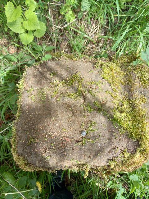
Image: © Mel Towler Taken: 19 May 2021
With bolt and cut mark on top surface. Stokesley engraved on north face, and Kirkbymoorside on south face.
Images are licensed for reuse under creativecommons.org/licenses/by-sa/2.0
Image Location
Latitude
54.352725
Longitude
-1.119902