Low Gill Farm
Introduction
The photograph on this page of Low Gill Farm by Gordon Hatton as part of the Geograph project.
The Geograph project started in 2005 with the aim of publishing, organising and preserving representative images for every square kilometre of Great Britain, Ireland and the Isle of Man.

There are currently over 7.5m images from over 14,400 individuals and you can help contribute to the project by visiting https://www.geograph.org.uk
Low Gill Farm
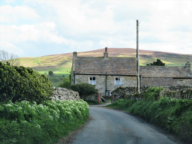
Image: © Gordon Hatton Taken: 18 May 2021
Traditional style farmhouse standing close by the lane that drops down through Agglethorpe.
Images are licensed for reuse under creativecommons.org/licenses/by-sa/2.0
Image Location
Latitude
54.271738
Longitude
-1.866527