St Michael's Farmhouse, Hoveringham
Introduction
The photograph on this page of St Michael's Farmhouse, Hoveringham by Alan Murray-Rust as part of the Geograph project.
The Geograph project started in 2005 with the aim of publishing, organising and preserving representative images for every square kilometre of Great Britain, Ireland and the Isle of Man.

There are currently over 7.5m images from over 14,400 individuals and you can help contribute to the project by visiting https://www.geograph.org.uk
St Michael's Farmhouse, Hoveringham
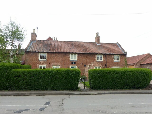
Image: © Alan Murray-Rust Taken: 17 May 2021
Mid 18th century, originally two or three cottages, later consolidated into a single farmhouse, Listed Grade II.
Images are licensed for reuse under creativecommons.org/licenses/by-sa/2.0
Image Location
Latitude
53.012094
Longitude
-0.963183