Grewelthorpe, residential outbuilding
Introduction
The photograph on this page of Grewelthorpe, residential outbuilding by Mel Towler as part of the Geograph project.
The Geograph project started in 2005 with the aim of publishing, organising and preserving representative images for every square kilometre of Great Britain, Ireland and the Isle of Man.

There are currently over 7.5m images from over 14,400 individuals and you can help contribute to the project by visiting https://www.geograph.org.uk
Grewelthorpe, residential outbuilding
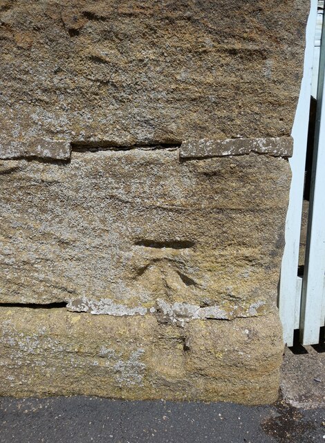
Image: © Mel Towler Taken: 18 May 2021
OS map from 1908 with benchmark at 531ft above SL. Slight wear.
Images are licensed for reuse under creativecommons.org/licenses/by-sa/2.0
Image Location
Latitude
54.181976
Longitude
-1.652153