Nant yr I
Introduction
The photograph on this page of Nant yr I by Jonathan Wilkins as part of the Geograph project.
The Geograph project started in 2005 with the aim of publishing, organising and preserving representative images for every square kilometre of Great Britain, Ireland and the Isle of Man.

There are currently over 7.5m images from over 14,400 individuals and you can help contribute to the project by visiting https://www.geograph.org.uk
Nant yr I
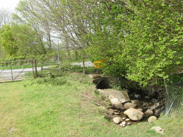
Image: © Jonathan Wilkins Taken: 16 May 2021
The stream makes its way out of a narrow, sunken course with large glacial erratic boulders to a watering place and a culvert beneath Newry Drive. A public footpath crosses a stile here.
Images are licensed for reuse under creativecommons.org/licenses/by-sa/2.0
Image Location
Latitude
53.250385
Longitude
-3.954703