Path around the pond
Introduction
The photograph on this page of Path around the pond by Derek Harper as part of the Geograph project.
The Geograph project started in 2005 with the aim of publishing, organising and preserving representative images for every square kilometre of Great Britain, Ireland and the Isle of Man.

There are currently over 7.5m images from over 14,400 individuals and you can help contribute to the project by visiting https://www.geograph.org.uk
Path around the pond
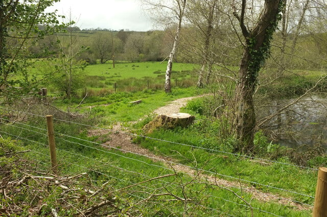
Image: © Derek Harper Taken: 9 May 2021
As seen in Image] and Image], trees have been felled and bushes cut down around the southern pond at Well Barn Farm. There are several pairs of Canada geese here, at least one of them with goslings.
Images are licensed for reuse under creativecommons.org/licenses/by-sa/2.0
Image Location
Latitude
50.485084
Longitude
-3.661972