St. Mary's Church Swynnerton
Introduction
The photograph on this page of St. Mary's Church Swynnerton by Brian Deegan as part of the Geograph project.
The Geograph project started in 2005 with the aim of publishing, organising and preserving representative images for every square kilometre of Great Britain, Ireland and the Isle of Man.

There are currently over 7.5m images from over 14,400 individuals and you can help contribute to the project by visiting https://www.geograph.org.uk
St. Mary's Church Swynnerton
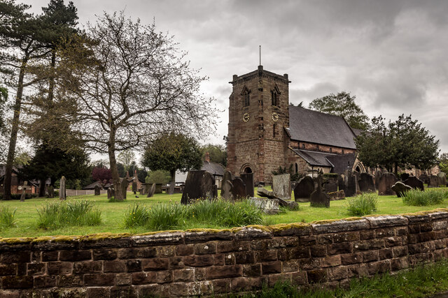
Image: © Brian Deegan Taken: 15 May 2021
St Mary's Church dates back to at least the 13th century, Swynnerton is listed in the Doomsday book identifying the lord in 1066 as Brothir (of Oaken) and in 1086, Edelo (of Rauceby), who was in service to Robert de Stafford, the tenant-in-chief. The record shows the settlement consisted of ten villagers' households, and five smallholders. Property consisted of eight ploughlands suitable for one lord's plough teams, and six men's plough teams. Other resources are listed as ten acres of meadow, and one league of woodland. The owner's value was estimated at £2. https://en.wikipedia.org/wiki/Swynnerton Its also No.7 in Neville Malkin's "Grand Tour" of the Potteries http://www.thepotteries.org/tour/007.htm
Images are licensed for reuse under creativecommons.org/licenses/by-sa/2.0
Image Location
Latitude
52.916895
Longitude
-2.220954