Gated road to Gorse Covert
Introduction
The photograph on this page of Gated road to Gorse Covert by Neil Owen as part of the Geograph project.
The Geograph project started in 2005 with the aim of publishing, organising and preserving representative images for every square kilometre of Great Britain, Ireland and the Isle of Man.

There are currently over 7.5m images from over 14,400 individuals and you can help contribute to the project by visiting https://www.geograph.org.uk
Gated road to Gorse Covert
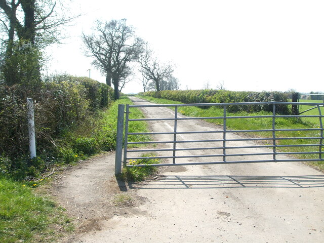
Image: © Neil Owen Taken: 19 Apr 2021
The road appears to simply turn into a track (Burbarrow Lane) after a short distance. Why it is gated is not immediately obvious.
Images are licensed for reuse under creativecommons.org/licenses/by-sa/2.0
Image Location
Latitude
51.511484
Longitude
-2.40285