Stream through Thorpe Astley
Introduction
The photograph on this page of Stream through Thorpe Astley by Tim Heaton as part of the Geograph project.
The Geograph project started in 2005 with the aim of publishing, organising and preserving representative images for every square kilometre of Great Britain, Ireland and the Isle of Man.

There are currently over 7.5m images from over 14,400 individuals and you can help contribute to the project by visiting https://www.geograph.org.uk
Stream through Thorpe Astley
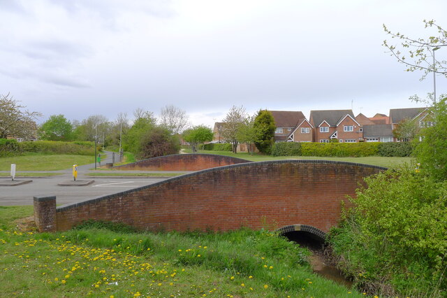
Image: © Tim Heaton Taken: 5 May 2021
Foxon Way crossing a bridge with a date stone for 1996. The stream drains to Lubbesthorpe Brook.
Images are licensed for reuse under creativecommons.org/licenses/by-sa/2.0
Image Location
Latitude
52.615818
Longitude
-1.193824