ESS Water abstraction plant
Introduction
The photograph on this page of ESS Water abstraction plant by Adrian S Pye as part of the Geograph project.
The Geograph project started in 2005 with the aim of publishing, organising and preserving representative images for every square kilometre of Great Britain, Ireland and the Isle of Man.

There are currently over 7.5m images from over 14,400 individuals and you can help contribute to the project by visiting https://www.geograph.org.uk
ESS Water abstraction plant
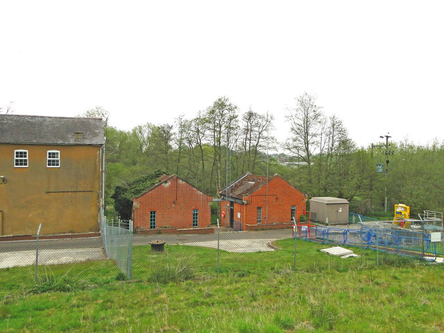
Image: © Adrian S Pye Taken: 13 May 2021
Next to the former Bucklesham watermill (left) is the ESS water abstraction borehole which stand to the rear of the mill, (from the road) which abstracts water from the borehole, stores it in a covered reservoir and pumps the water to Alton Water reservoir in times of severe drought.
Images are licensed for reuse under creativecommons.org/licenses/by-sa/2.0
Image Location
Latitude
52.029811
Longitude
1.308611