Hardcastle Garth
Introduction
The photograph on this page of Hardcastle Garth by Gordon Hatton as part of the Geograph project.
The Geograph project started in 2005 with the aim of publishing, organising and preserving representative images for every square kilometre of Great Britain, Ireland and the Isle of Man.

There are currently over 7.5m images from over 14,400 individuals and you can help contribute to the project by visiting https://www.geograph.org.uk
Hardcastle Garth
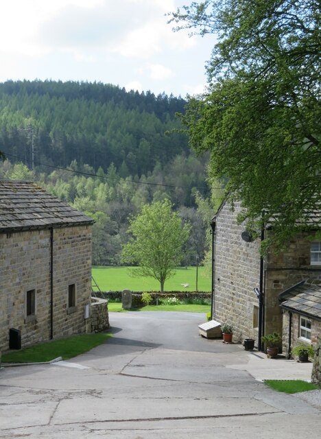
Image: © Gordon Hatton Taken: 11 May 2021
Two footpaths converge here and pass through the gap between buildings. To the right is the oldest part of the properties with dates of 1666 & 1703. These are grade 2 listed. This doesn't look like any working farm, but more like one of those near Harrogate which has been 'gentrified'.
Images are licensed for reuse under creativecommons.org/licenses/by-sa/2.0
Image Location


Leaflet Map data © OpenStreetMap
Latitude
54.039624
Longitude
-1.655785