Steeple Road towards Steeple
Introduction
The photograph on this page of Steeple Road towards Steeple by Robin Webster as part of the Geograph project.
The Geograph project started in 2005 with the aim of publishing, organising and preserving representative images for every square kilometre of Great Britain, Ireland and the Isle of Man.

There are currently over 7.5m images from over 14,400 individuals and you can help contribute to the project by visiting https://www.geograph.org.uk
Steeple Road towards Steeple
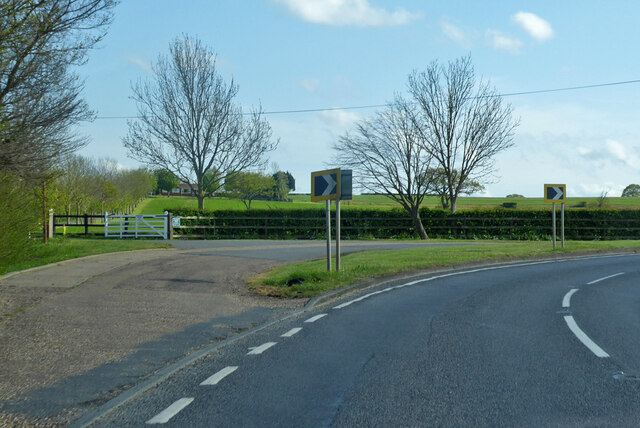
Image: © Robin Webster Taken: 9 May 2021
Many of the roads on the Dengie peninsula follow the ancient grid of the field boundaries, which meant that a diagonal trend across them was a series of right-angled corners. On this road the sharp corners have been replaced with more sweeping bends, probably dating from when access was improved to build Bradwell power station. Here the old road goes straight on to abruptly turn right. It is a pity that they didn't go the whole hog and straighten out the whole road.
Images are licensed for reuse under creativecommons.org/licenses/by-sa/2.0
Image Location
Latitude
51.695426
Longitude
0.81812