Whitefriars Lane, Coventry
Introduction
The photograph on this page of Whitefriars Lane, Coventry by A J Paxton as part of the Geograph project.
The Geograph project started in 2005 with the aim of publishing, organising and preserving representative images for every square kilometre of Great Britain, Ireland and the Isle of Man.

There are currently over 7.5m images from over 14,400 individuals and you can help contribute to the project by visiting https://www.geograph.org.uk
Whitefriars Lane, Coventry
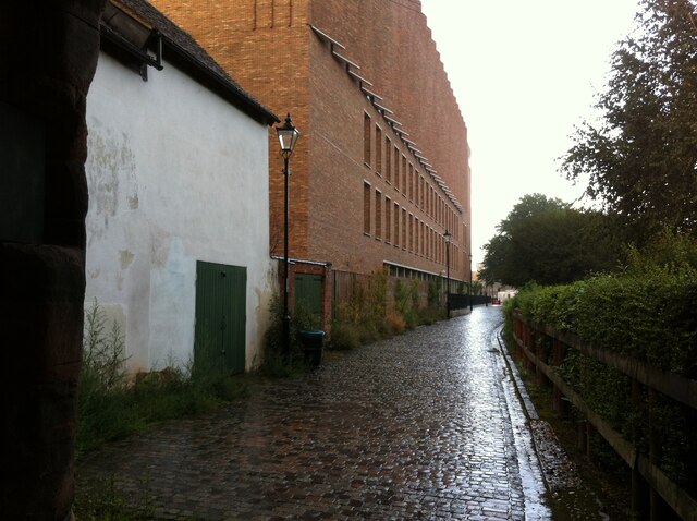
Image: © A J Paxton Taken: 25 Aug 2018
Looking east from Much Park Street, under the arch of the postern gate of the medieval Carmelite friary ('Whitefriars'), in the direction of the remains of the friary itself. On the left can be seen the Alison Gingell Building, by the architects Broadway Malyan. http://www.jonestheplanner.co.uk/2019/05/coventry-revisted-modernist-city.html It houses the Faculty of Health and Life Sciences of Coventry University. https://www.coventry.ac.uk/study-at-coventry/faculties-and-schools/health-and-life-sciences/alison-gingell-building/
Images are licensed for reuse under creativecommons.org/licenses/by-sa/2.0
Image Location
Latitude
52.405178
Longitude
-1.504004