Isolated farm building on edge of Moor Wood
Introduction
The photograph on this page of Isolated farm building on edge of Moor Wood by A J Paxton as part of the Geograph project.
The Geograph project started in 2005 with the aim of publishing, organising and preserving representative images for every square kilometre of Great Britain, Ireland and the Isle of Man.

There are currently over 7.5m images from over 14,400 individuals and you can help contribute to the project by visiting https://www.geograph.org.uk
Isolated farm building on edge of Moor Wood
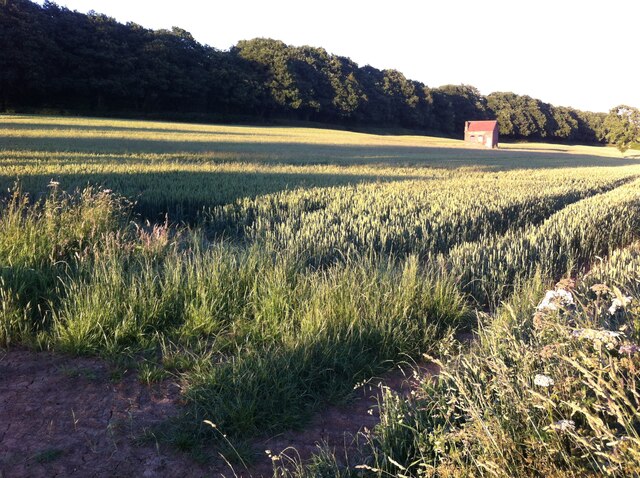
Image: © A J Paxton Taken: 22 Jun 2018
Between Ansley Common and Hartshill, on the edge of Nuneaton.
Images are licensed for reuse under creativecommons.org/licenses/by-sa/2.0
Image Location
Latitude
52.541598
Longitude
-1.536234