Redevelopment, Westfield Lane, Idle
Introduction
The photograph on this page of Redevelopment, Westfield Lane, Idle by Stephen Craven as part of the Geograph project.
The Geograph project started in 2005 with the aim of publishing, organising and preserving representative images for every square kilometre of Great Britain, Ireland and the Isle of Man.

There are currently over 7.5m images from over 14,400 individuals and you can help contribute to the project by visiting https://www.geograph.org.uk
Redevelopment, Westfield Lane, Idle
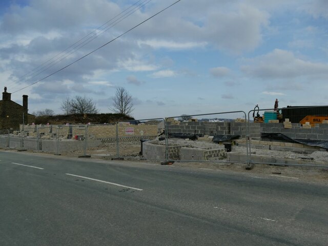
Image: © Stephen Craven Taken: 4 Apr 2021
Some previous houses on this site have been demolished and new ones are going up.
Images are licensed for reuse under creativecommons.org/licenses/by-sa/2.0
Image Location
Latitude
53.836616
Longitude
-1.737077