East end of Tile Hill Lane, Whoberley, Coventry
Introduction
The photograph on this page of East end of Tile Hill Lane, Whoberley, Coventry by Robin Stott as part of the Geograph project.
The Geograph project started in 2005 with the aim of publishing, organising and preserving representative images for every square kilometre of Great Britain, Ireland and the Isle of Man.

There are currently over 7.5m images from over 14,400 individuals and you can help contribute to the project by visiting https://www.geograph.org.uk
East end of Tile Hill Lane, Whoberley, Coventry
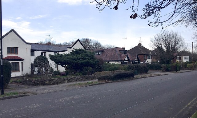
Image: © Robin Stott Taken: 8 Mar 2021
On old-maps.co.uk housing is shown extending along the north side of Tile Hill Lane from 1914. The house on the left appears between 1914 and 1925; the bungalow shows on a map of 1937 Image The block on the right appears in the 1970s and is a dental surgery.
Images are licensed for reuse under creativecommons.org/licenses/by-sa/2.0
Image Location
Latitude
52.404009
Longitude
-1.548849