Nos. 160 and 158 Green Lane
Introduction
The photograph on this page of Nos. 160 and 158 Green Lane by Luke Shaw as part of the Geograph project.
The Geograph project started in 2005 with the aim of publishing, organising and preserving representative images for every square kilometre of Great Britain, Ireland and the Isle of Man.

There are currently over 7.5m images from over 14,400 individuals and you can help contribute to the project by visiting https://www.geograph.org.uk
Nos. 160 and 158 Green Lane
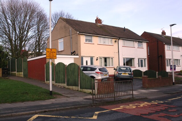
Image: © Luke Shaw Taken: 8 Jan 2020
There is an Ordnance Survey benchmark Image on the red bricks on the side of the garage attached to the left hand house about 2m from the near corner of the garage and on the 5/6th bricks above the footpath
Images are licensed for reuse under creativecommons.org/licenses/by-sa/2.0
Image Location
Latitude
54.892909
Longitude
-2.977368