Footpath by the beck
Introduction
The photograph on this page of Footpath by the beck by Gordon Hatton as part of the Geograph project.
The Geograph project started in 2005 with the aim of publishing, organising and preserving representative images for every square kilometre of Great Britain, Ireland and the Isle of Man.

There are currently over 7.5m images from over 14,400 individuals and you can help contribute to the project by visiting https://www.geograph.org.uk
Footpath by the beck
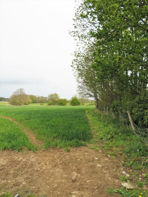
Image: © Gordon Hatton Taken: 6 May 2021
The path is heading north towards Barton, whilst the beck is named as Five Hills beck and is so small as to be invisible between the fence and line of trees. This tiny beck is less than a mile from its source at Acre Howden Spring, which itself is only a few hundred metres from Waterfall Beck which is flowing in the opposite direction through Barton and into the Tees. Five Hills Beck flows south, changing its name at least seven times before eventually joining the Swale near Kiplin Hall.
Images are licensed for reuse under creativecommons.org/licenses/by-sa/2.0
Image Location
Latitude
54.455617
Longitude
-1.645057