United Reformed Church, Tockholes
Introduction
The photograph on this page of United Reformed Church, Tockholes by Chris Heaton as part of the Geograph project.
The Geograph project started in 2005 with the aim of publishing, organising and preserving representative images for every square kilometre of Great Britain, Ireland and the Isle of Man.

There are currently over 7.5m images from over 14,400 individuals and you can help contribute to the project by visiting https://www.geograph.org.uk
United Reformed Church, Tockholes
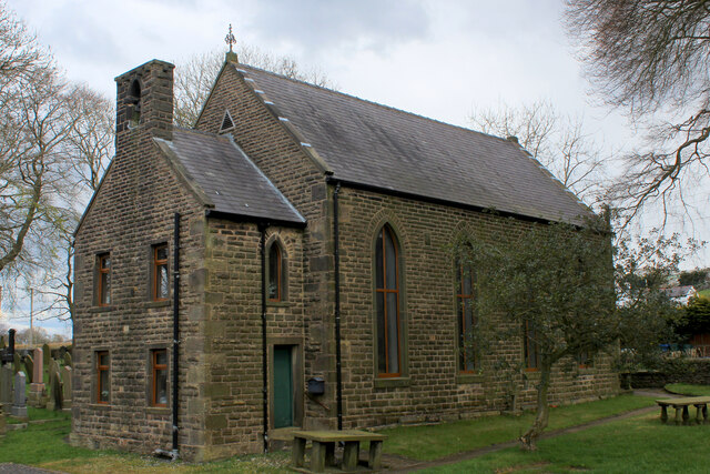
Image: © Chris Heaton Taken: 30 Apr 2021
Early non-conformist church dating from 1662. The chapel was built in 1710, then rebuilt in 1880.
Images are licensed for reuse under creativecommons.org/licenses/by-sa/2.0
Image Location
Latitude
53.702576
Longitude
-2.519067