Upper Field View
Introduction
The photograph on this page of Upper Field View by JThomas as part of the Geograph project.
The Geograph project started in 2005 with the aim of publishing, organising and preserving representative images for every square kilometre of Great Britain, Ireland and the Isle of Man.

There are currently over 7.5m images from over 14,400 individuals and you can help contribute to the project by visiting https://www.geograph.org.uk
Upper Field View
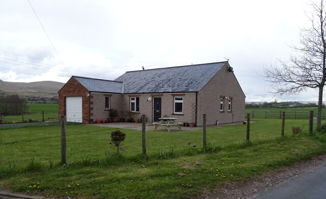
Image: © JThomas Taken: 29 Apr 2021
Bungalow on the B6259 near Warcop.
Images are licensed for reuse under creativecommons.org/licenses/by-sa/2.0
Image Location
Latitude
54.531553
Longitude
-2.38505