Riverside path
Introduction
The photograph on this page of Riverside path by Richard Sutcliffe as part of the Geograph project.
The Geograph project started in 2005 with the aim of publishing, organising and preserving representative images for every square kilometre of Great Britain, Ireland and the Isle of Man.

There are currently over 7.5m images from over 14,400 individuals and you can help contribute to the project by visiting https://www.geograph.org.uk
Riverside path
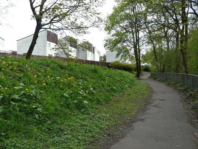
Image: © Richard Sutcliffe Taken: 5 May 2021
The Allander Water is just out of view to the right. Many dandelions are in flower on the bank to the left.
Images are licensed for reuse under creativecommons.org/licenses/by-sa/2.0
Image Location
Latitude
55.942268
Longitude
-4.32144