Allander Water
Introduction
The photograph on this page of Allander Water by Richard Sutcliffe as part of the Geograph project.
The Geograph project started in 2005 with the aim of publishing, organising and preserving representative images for every square kilometre of Great Britain, Ireland and the Isle of Man.

There are currently over 7.5m images from over 14,400 individuals and you can help contribute to the project by visiting https://www.geograph.org.uk
Allander Water
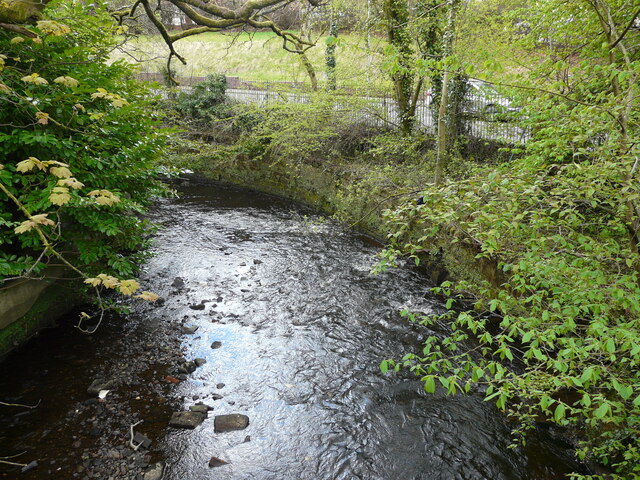
Image: © Richard Sutcliffe Taken: 5 May 2021
Seen from a footbridge over the river. The Allander Water has a stone retaining wall at this point to prevent any erosion, as it is so close to Clober Road.
Images are licensed for reuse under creativecommons.org/licenses/by-sa/2.0
Image Location
Latitude
55.94243
Longitude
-4.322411