Woodfold Lane near Freeby
Introduction
The photograph on this page of Woodfold Lane near Freeby by Kate Jewell as part of the Geograph project.
The Geograph project started in 2005 with the aim of publishing, organising and preserving representative images for every square kilometre of Great Britain, Ireland and the Isle of Man.

There are currently over 7.5m images from over 14,400 individuals and you can help contribute to the project by visiting https://www.geograph.org.uk
Woodfold Lane near Freeby
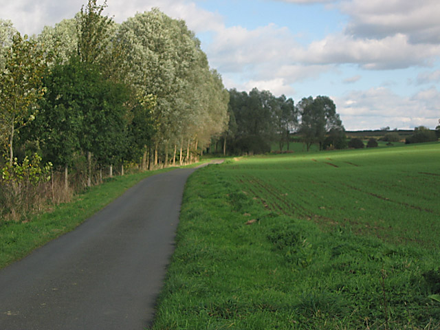
Image: © Kate Jewell Taken: 20 Oct 2005
Open arable land to the east and a narrow wood to the west of the narrow lane.
Images are licensed for reuse under creativecommons.org/licenses/by-sa/2.0
Image Location


Leaflet Map data © OpenStreetMap
Latitude
52.77131
Longitude
-0.833134