Railway bridge, Church Lane
Introduction
The photograph on this page of Railway bridge, Church Lane by Richard Dorrell as part of the Geograph project.
The Geograph project started in 2005 with the aim of publishing, organising and preserving representative images for every square kilometre of Great Britain, Ireland and the Isle of Man.

There are currently over 7.5m images from over 14,400 individuals and you can help contribute to the project by visiting https://www.geograph.org.uk
Railway bridge, Church Lane
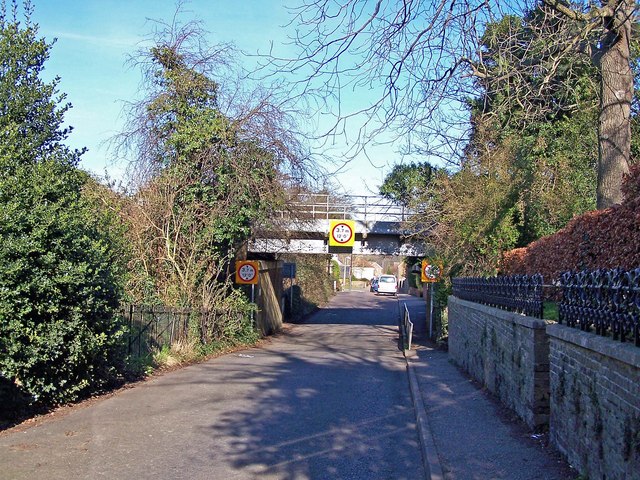
Image: © Richard Dorrell Taken: 9 Feb 2008
This low bridge, and narrow country lanes beyond, prevent large vehicles from easy access to the north side of Newington. The railway is the main line from London Victoria to East Kent.
Images are licensed for reuse under creativecommons.org/licenses/by-sa/2.0
Image Location
Latitude
51.353363
Longitude
0.66952