Brock Well House
Introduction
The photograph on this page of Brock Well House by Stephen Craven as part of the Geograph project.
The Geograph project started in 2005 with the aim of publishing, organising and preserving representative images for every square kilometre of Great Britain, Ireland and the Isle of Man.

There are currently over 7.5m images from over 14,400 individuals and you can help contribute to the project by visiting https://www.geograph.org.uk
Brock Well House
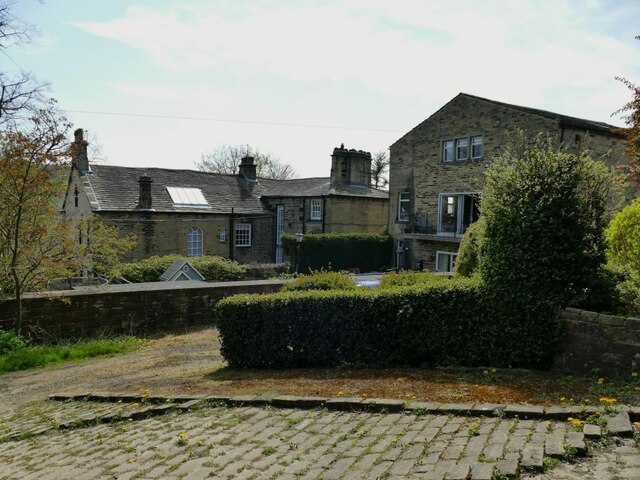
Image: © Stephen Craven Taken: 24 Apr 2021
The house is listed grade II (list entry 1134552) where it is described as a former mill owner's house "dated 1766 but probably c1800". The mill itself was already disused by the early 20th century and most of its buildings are no longer extant.
Images are licensed for reuse under creativecommons.org/licenses/by-sa/2.0
Image Location
Latitude
53.702241
Longitude
-1.927104