Downhill view to Clydebank
Introduction
The photograph on this page of Downhill view to Clydebank by Stephen Sweeney as part of the Geograph project.
The Geograph project started in 2005 with the aim of publishing, organising and preserving representative images for every square kilometre of Great Britain, Ireland and the Isle of Man.

There are currently over 7.5m images from over 14,400 individuals and you can help contribute to the project by visiting https://www.geograph.org.uk
Downhill view to Clydebank
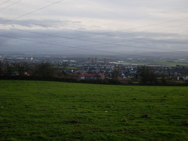
Image: © Stephen Sweeney Taken: 8 Feb 2008
Mainly looking to the areas of Radnor Park and Parkhall. The River Clyde at its meet with the River Cart can be seen just off the centre of the image.
Images are licensed for reuse under creativecommons.org/licenses/by-sa/2.0
Image Location
Latitude
55.932722
Longitude
-4.41133