Bridleway at Hoveringham Mill
Introduction
The photograph on this page of Bridleway at Hoveringham Mill by Alan Murray-Rust as part of the Geograph project.
The Geograph project started in 2005 with the aim of publishing, organising and preserving representative images for every square kilometre of Great Britain, Ireland and the Isle of Man.

There are currently over 7.5m images from over 14,400 individuals and you can help contribute to the project by visiting https://www.geograph.org.uk
Bridleway at Hoveringham Mill
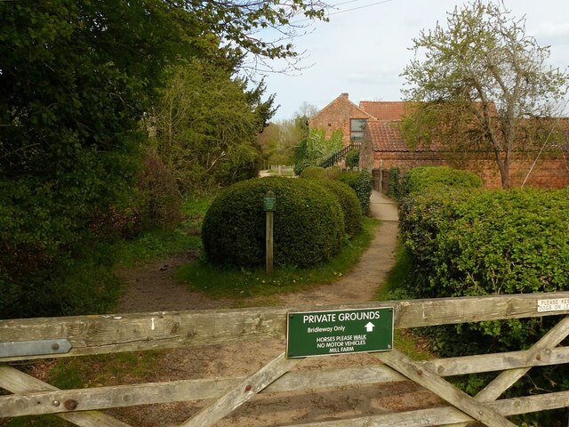
Image: © Alan Murray-Rust Taken: 28 Apr 2021
Showing the split between the bridle path through the ford and the footpath across a bridge. The bridleway runs through the middle of the mill grounds, with plenty of notices to that effect – clear but polite.
Images are licensed for reuse under creativecommons.org/licenses/by-sa/2.0
Image Location
Latitude
53.011979
Longitude
-0.981072