Margaret's Camp
Introduction
The photograph on this page of Margaret's Camp by Philip Halling as part of the Geograph project.
The Geograph project started in 2005 with the aim of publishing, organising and preserving representative images for every square kilometre of Great Britain, Ireland and the Isle of Man.

There are currently over 7.5m images from over 14,400 individuals and you can help contribute to the project by visiting https://www.geograph.org.uk
Margaret's Camp
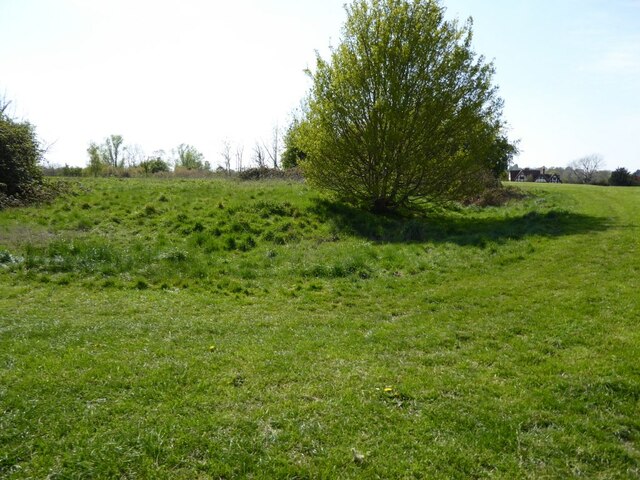
Image: © Philip Halling Taken: 24 Apr 2021
Margaret's Camp at Gupshill, this is the site of a former moated manor house and was probably already gone at the time of the Battle of Tewkesbury in 1471.
Images are licensed for reuse under creativecommons.org/licenses/by-sa/2.0
Image Location
Latitude
51.98123
Longitude
-2.154144