From Wellswood Path
Introduction
The photograph on this page of From Wellswood Path by Derek Harper as part of the Geograph project.
The Geograph project started in 2005 with the aim of publishing, organising and preserving representative images for every square kilometre of Great Britain, Ireland and the Isle of Man.

There are currently over 7.5m images from over 14,400 individuals and you can help contribute to the project by visiting https://www.geograph.org.uk
From Wellswood Path
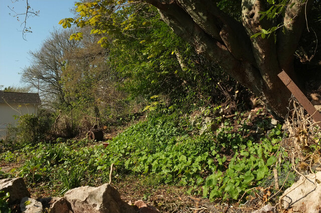
Image: © Derek Harper Taken: 27 Apr 2021
A garden boundary on the north side of Warberry Hill, as the land drops towards Babbacombe Road. A garden roller is needed to try and flatten it out.
Images are licensed for reuse under creativecommons.org/licenses/by-sa/2.0
Image Location
Latitude
50.467599
Longitude
-3.513119