Gateway to Brough Hall
Introduction
The photograph on this page of Gateway to Brough Hall by Gordon Hatton as part of the Geograph project.
The Geograph project started in 2005 with the aim of publishing, organising and preserving representative images for every square kilometre of Great Britain, Ireland and the Isle of Man.

There are currently over 7.5m images from over 14,400 individuals and you can help contribute to the project by visiting https://www.geograph.org.uk
Gateway to Brough Hall
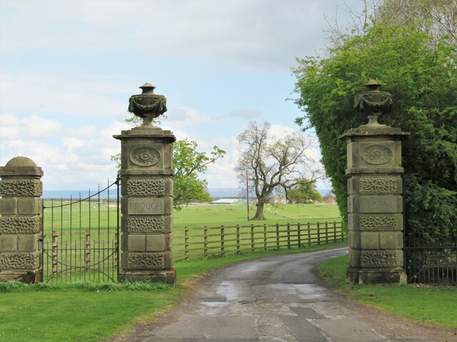
Image: © Gordon Hatton Taken: 29 Apr 2021
The gate piers are grade 2 listed and dated as early to mid 19th century. They were moved to this site in 1979 having previously stood next to the main road some distance away. Footpath number 20.15/5 passes this way heading towards Catterick village.
Images are licensed for reuse under creativecommons.org/licenses/by-sa/2.0
Image Location
Latitude
54.378941
Longitude
-1.671275