Rosehearty parish kirk
Introduction
The photograph on this page of Rosehearty parish kirk by Bill Harrison as part of the Geograph project.
The Geograph project started in 2005 with the aim of publishing, organising and preserving representative images for every square kilometre of Great Britain, Ireland and the Isle of Man.

There are currently over 7.5m images from over 14,400 individuals and you can help contribute to the project by visiting https://www.geograph.org.uk
Rosehearty parish kirk
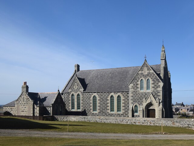
Image: © Bill Harrison Taken: 16 Apr 2021
Built 1882 for the United Presbyterians (https://en.wikipedia.org/wiki/United_Presbyterian_Church_(Scotland) ), which was the favoured faith of most of the fishermen in the village and later the established church. Architects: Ellis and Wilson, who designed many public and private buildings in northeast Scotland: http://www.scottisharchitects.org.uk/architect_full.php?id=200676 . ,
Images are licensed for reuse under creativecommons.org/licenses/by-sa/2.0
Image Location
Latitude
57.6952
Longitude
-2.119593