Teversham: outbuildings and tanks at Hall Farm
Introduction
The photograph on this page of Teversham: outbuildings and tanks at Hall Farm by John Sutton as part of the Geograph project.
The Geograph project started in 2005 with the aim of publishing, organising and preserving representative images for every square kilometre of Great Britain, Ireland and the Isle of Man.

There are currently over 7.5m images from over 14,400 individuals and you can help contribute to the project by visiting https://www.geograph.org.uk
Teversham: outbuildings and tanks at Hall Farm
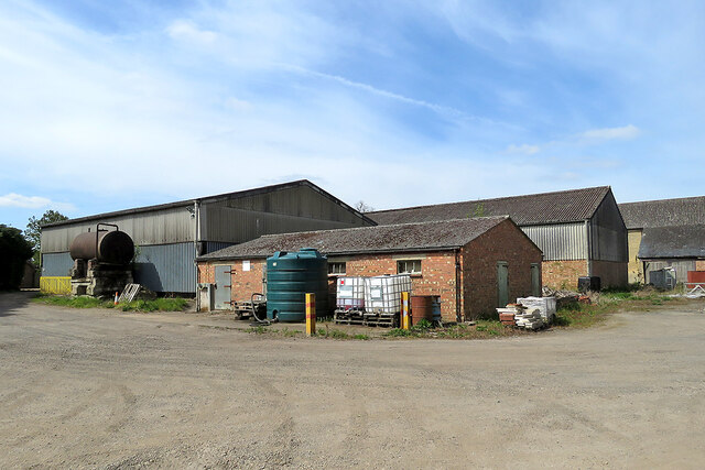
Image: © John Sutton Taken: 26 Apr 2021
The footpath from Quy to Teversham passes through the yard.
Images are licensed for reuse under creativecommons.org/licenses/by-sa/2.0
Image Location
Latitude
52.203364
Longitude
0.191833