Footpath towards Summerfield House Farm
Introduction
The photograph on this page of Footpath towards Summerfield House Farm by Gordon Hatton as part of the Geograph project.
The Geograph project started in 2005 with the aim of publishing, organising and preserving representative images for every square kilometre of Great Britain, Ireland and the Isle of Man.

There are currently over 7.5m images from over 14,400 individuals and you can help contribute to the project by visiting https://www.geograph.org.uk
Footpath towards Summerfield House Farm
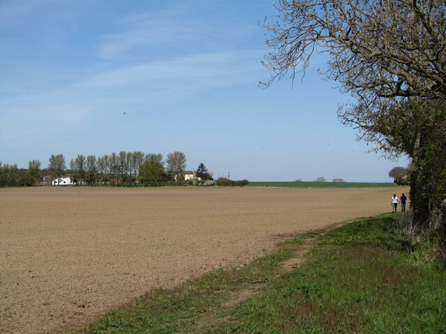
Image: © Gordon Hatton Taken: 23 Apr 2021
Two walkers approach along the field edge. The line of the footpath [no. 10.164/14] is shown on the map as crossing the middle of the field, but of course this has been freshly tilled thus making a direct line more difficult to walk.
Images are licensed for reuse under creativecommons.org/licenses/by-sa/2.0
Image Location
Latitude
54.416536
Longitude
-1.398533